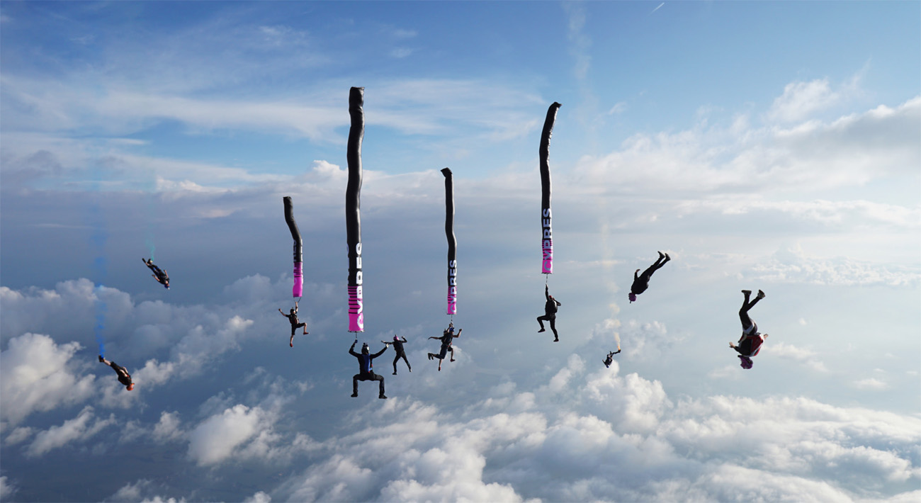
Busy skies - Bad Sassendorf, Germany.
From the solar flares and zooming photons of a gargantuan ball of always exploding fire really far away, through to the moon swinging about in the sky or even the rotation of the earth itself - the weather which makes or breaks our plans on this little blue and green planet is affected by things on the grandest scale.
Meteorological science is both amazingly exacting and still kind of imprecise all at the same time. While hard to nail down the total details, weather forecasting can tell you pretty much what to expect and more-or-less when. There are things you can judge in the distance that might affect you directly when you ask questions like: If there is a hurricane in the other side of the ocean might it be windy at the weekend? Or, if these opposing weather fronts are going to clash above me how is it going to affect the conditions? The most important rule is the further away you look the more general you have to be. Knowing how things work and seeing them in advance might mean making the call between a great day of jumping while the naysayers stay at home, seeing a shitty day coming a mile off and going to the movies instead, or accidentally skydiving in the rain and having to dry your shit out afterwards.

Clouds
It is fun to learn about clouds. The names might seem baffling at first but with just a small amount of practice you will be able to identify the most common types and what they herald for your skydiving day. Once you can name the usual suspects there are a great many others that signify environmental anomalies and special circumstances which can further your awareness. A cloud spotter’s guide in the glove compartment of you car or handily placed next to a window is a good way to encourage what can become a rewarding and entertaining habit.
Here are the formations that you generally get to deal with:
Little Puffy White Ones: Latin Words: Cumulus (Low), Altocumulus (Medium), Cirrocumulus (High).
Cumulus clouds are the fluffy cotton wool variety that appear in children’s fridge door paintings. The presence of any cloud indicates precipitation but small friendly white examples mean all the things skydivers like - mostly sunny and not windy and not raining. This is the type of cloud they hold in reserve for the choicest skydiving locations around the world, where everyone jumps in their swimwear and frolics in the sea at the end of the day.
Grey Fogginess: Latin Words: Stratus (Low), Altostratus (Medium), Cirrostratus (High).
Stratus cloud is likely what is happening when the whole sky is full of grey and people are shaking their fists angrily at it. Thin layers can be seen through but any kind of density can render the sky obscuring and opaque. Stratus skies can represent the kind of conditions where you could be offered jumps from whatever the cloud base is, or possibly from above if the ground is still visible. A good Altostratus day is the kind that gives you the feeling you first experienced as a child peering out of on an aeroplane window and wishing you could get out and bounce around on a big white spongy trampoline.
Big High Massive Ones: Latin Words: Cumulonimbus
Huge cloud structures can make for spectacular skydiving experiences as you zoom down through colossal valleys in the sky. Just watch as the wingsuit types get all giddy with excitement on days like these - then promptly land miles off the dropzone because they couldn’t resist chasing some perfect aerial canyon. However, much care is needed. While these towering storm clouds might be spread out and allow for jumps in the gaps it can be all too easy to wind up inside one if things go against you. At best you get wet and uncomfortable, at worst your visibility is zero and things are dangerous. Jumping with lots of cloud around requires good judgement and extra emphasis on safety - keep the groups small and bin the tracking.

Storm cell building in the distance - Lake Balaton, Hungary.
Combinations
In a very general way when you start smooshing your Latin words together things are getting busier up there and more likely to lead to no skydiving.
Nimbostratus formations are what can be known as fine British skydiving weather. Large ominous grey monsters fill all the observable sky as you gear up while it is still actually raining outside, but don’t worry - there is a hole coming. For extra entertainment bring an American along and watch then gawp slack-jawed and unbelieving at you while you get ready.
Stratocumulus clouds are the big wavy sheets that can be low, medium, high, or all at the same time. Thin layers like this are caused by generally stable conditions before things get saucy. Thin layers at different heights can look like shit from the ground but be fine once you are in the plane, realising that much of it remains above you and does not hinder your visibility of the ground.

Jumping from cloud base - Slavnica, Slovakia.

A nice layer to play above - Dunkeswell, UK.
Go Further
There are many types of of cloud. As a skydiver you will spend a lot of time looking up at the sky - so it is a solid investment to learn more about how it works. There are clouds that demonstrate it being windy enough to push rain up into the sky or down out of it before it normally would, there are those that form up into rolls and lumps and streets, those that create incandescent colour from above or below, and those that don’t do anything but will impress the hell out of people when you can name them.
There are no comments to display.
Join the conversation
You can post now and register later. If you have an account, sign in now to post with your account.
Note: Your post will require moderator approval before it will be visible.